We build a drone identification database that can accurately identify drones
through deep learning and AI, and continuously update them offline.
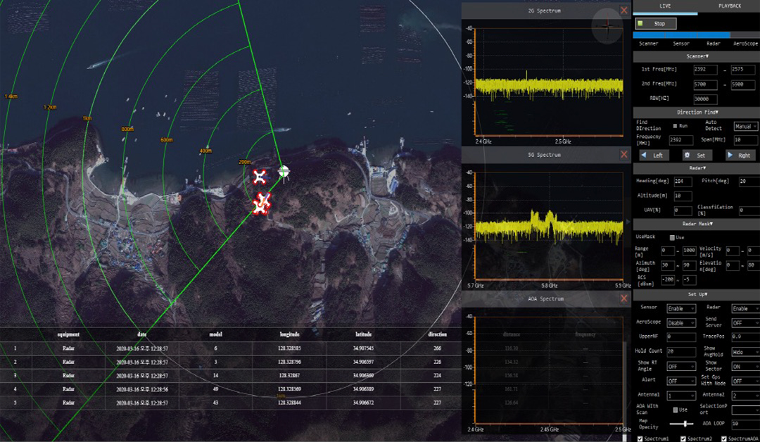
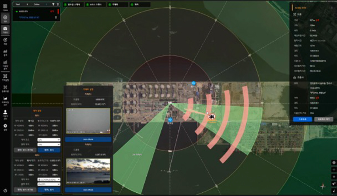
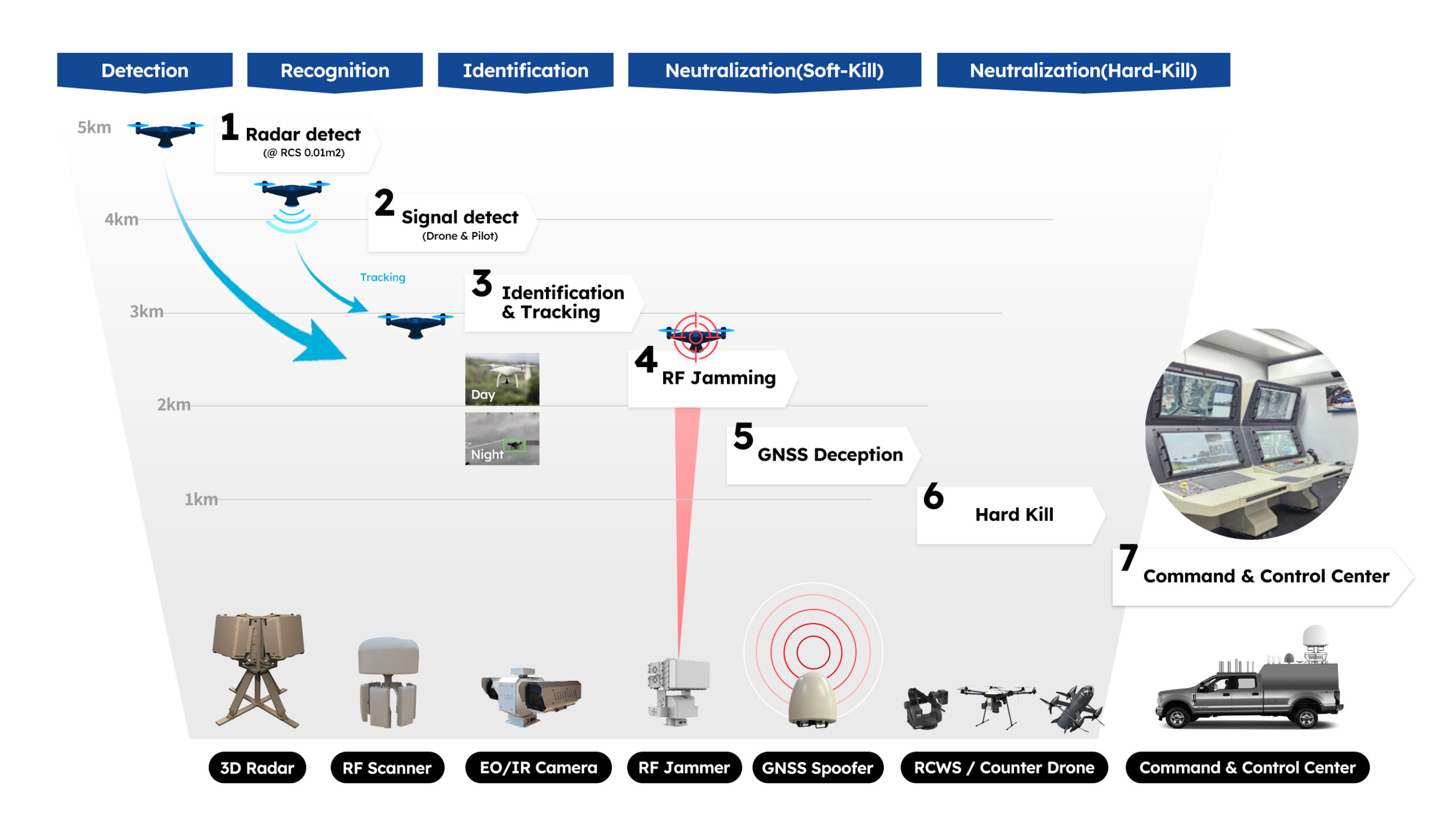
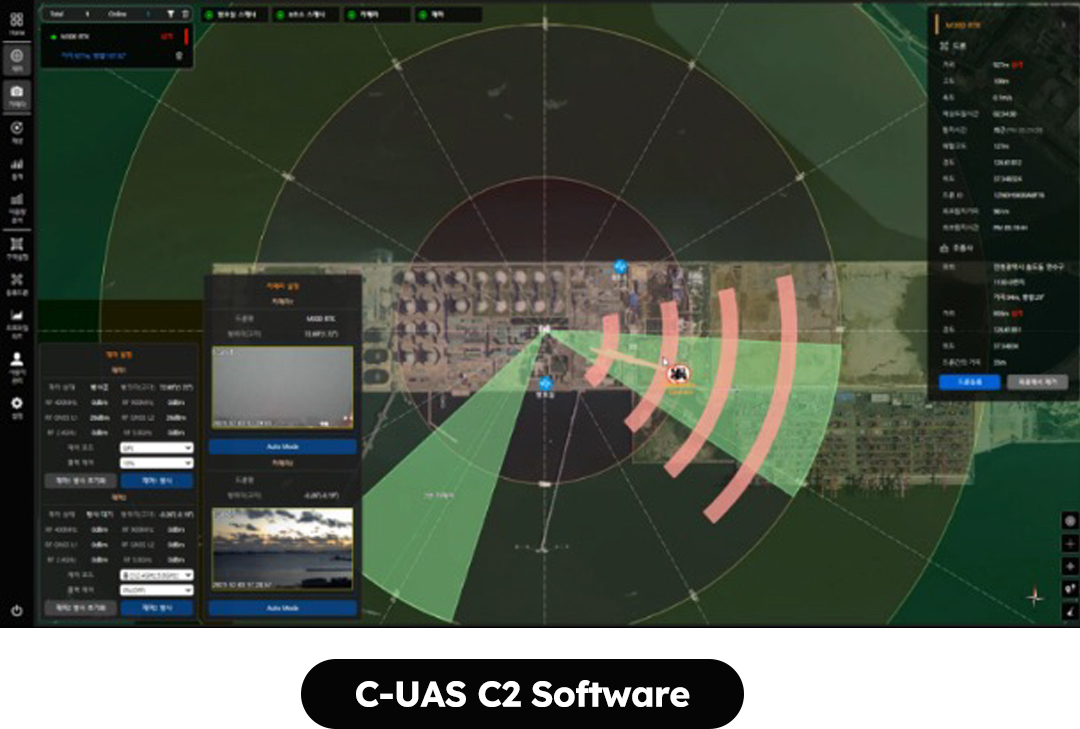
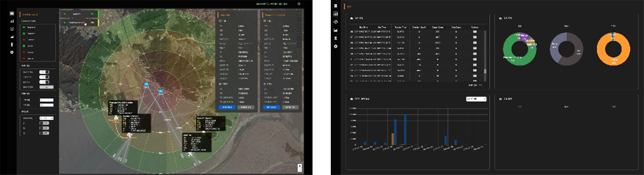
Detect and analyze illegal drones and UAS in the air.
Display detection results in real time on the map (drone latitude & longitude, altitude and distance / flight route)
After analyzing the drone signal, identify the drone and pilot position and manufacturer, and model (each latitude & longitude, elevation, flight tracking)
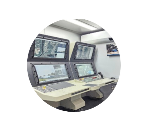
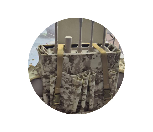
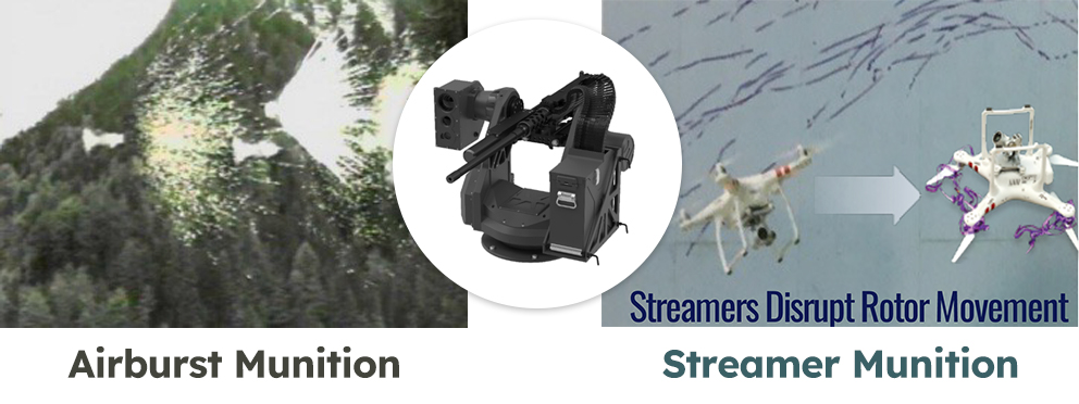
Integrated control to completely disable drones at the end
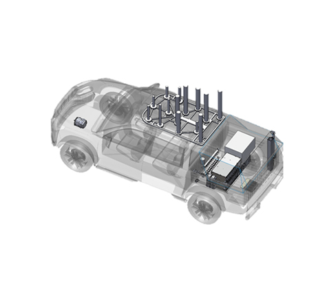
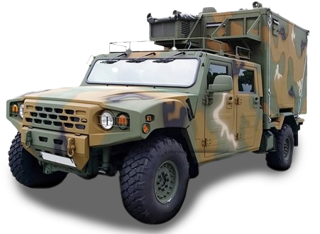
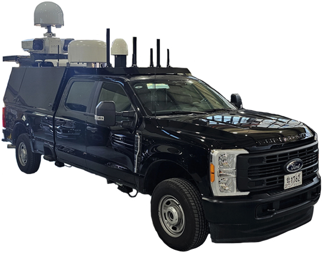
Applicable sites: VIP sites, major national facilities (power plants, airports, military facilities, major buildings of local governments, etc.)
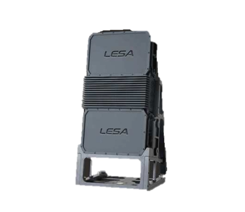
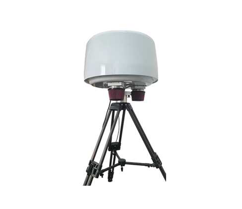
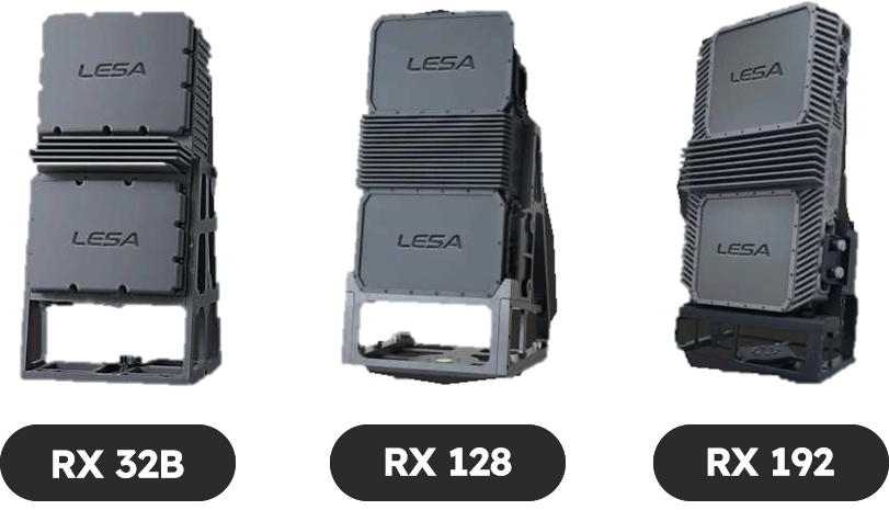
Drone detection and decoding
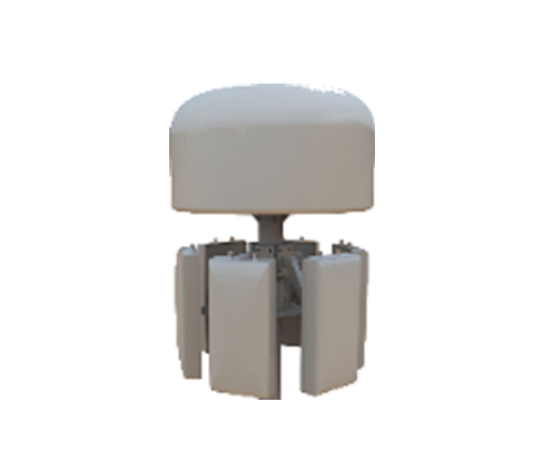
Drones signal direction detection
Identification and Direction Detection through Drone Control and Real-Time Detection of Image Signals
Establish and update a DB that can identify drones accurately through deep learning and AI by identifying drone locations, detecting radio signal directions in real time, and transmitting them to system servers and operating terminals
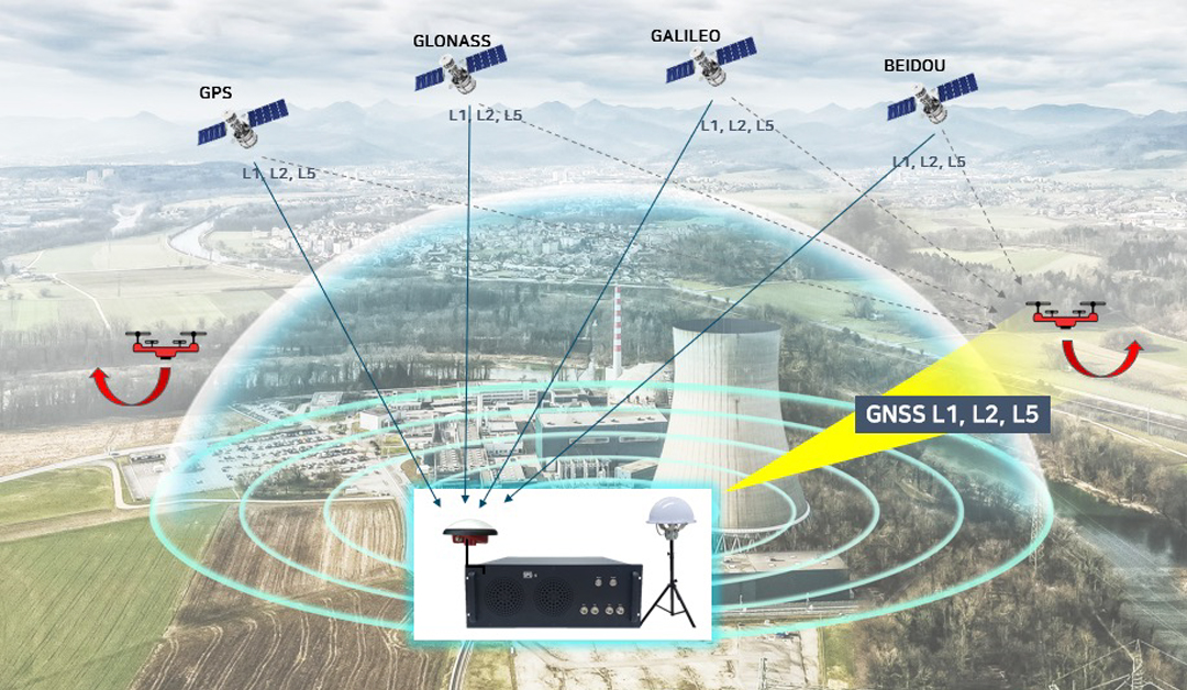
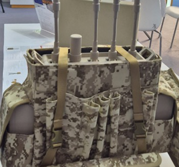
Design of several narrowband, high-gain antennas to overcome detection measurement distance limits depending on the drone's various radio radiation outputs
High-quality antennas to overcome radio spurious and noise to ensure sufficient tracking distance
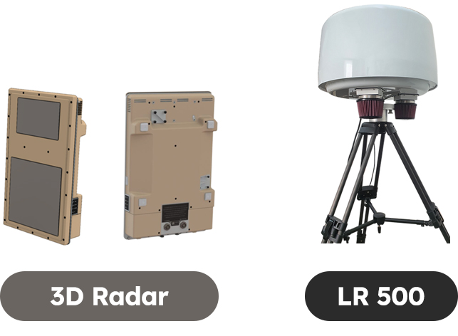
High-performance ground and air-based FMCW AESA radars provide a powerful ground and airspace boundary security system
High-Performance Active Electron Scanning Array(AESA) Radar
Detect and track ground and air threats simultaneously across all environments
Based on innovative AESA technology, 3D radars provide ultra-low power solutions that reduce size, weight, power consumption and cost (SWaP-C) while maintaining AESA-class performance
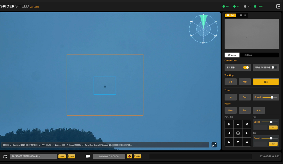
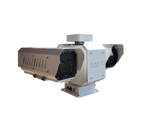
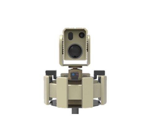
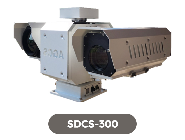
Drone identification and tracking mid- to long-range optical sensors
Real time AI Deep learning
detection & Classification
Recognizing and identifying drone signals
as well as tracking drone shapes
Configured with custom options such as high-performance EO cameras, IR cameras (MWIR, LWIR) cameras, laser rangefinders (LRF), and high-performance pan-tilts
Provides real-time automatic detection, tracking, and identification of flying objects through AI-based image analysis
Provides integration with radar and frequency scanners
EO DRI Distance 3~5km / IR DRI Distance 2~3km (DJI Phantom 4)
AI-based real-time identification and tracking system for UAS
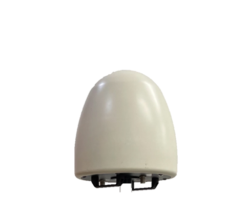
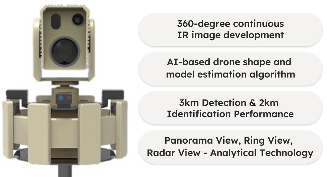
Full Passive Type Developed Panorama HR 360° Thermal Imaging with Radar Detection Technology
Automatically detect and track to the horizon 24/7 wherever there is a threat of infiltration (large airfields, desert areas around complexes, land or sea borders, ports, etc.)